Low tides in the coming days
Next days
The 7-day forecast, hourly plan and an alert for this place are in pre-sale.
See the pre-saleWhere to look
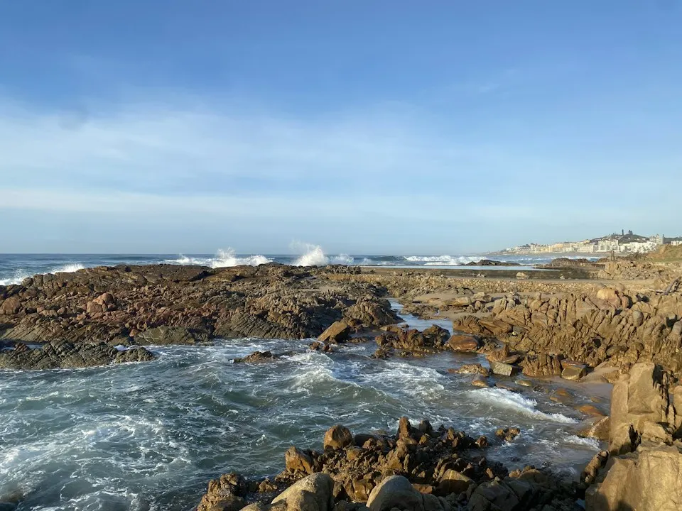
Search the ledges along Hannafore Road, ideally on spring low tides. Start at low water and head back before the pools start to join up with the sea.
What you can find
crabs, anemones, starfish, hermit crabs, prawns, gobies, limpets
What to do: rockpooling, wildlife watching
Shellfish and sanitary status: The waters around Looe are a marine conservation area, so do not collect shellfish here. Elsewhere in Cornwall, check the FSA classification and the Cornwall IFCA rules.
Rules and safety
The shore is in the Whitsand and Looe Bay Marine Conservation Area. Look at animals in place and put stones back. Do not try to walk to Looe Island: landing is only possible by the authorised boat.
About the place
Hannafore is the rocky shore west of Looe, facing Looe Island. Low tide uncovers wide ledges full of pools. The island and its waters are protected and managed by Cornwall Wildlife Trust.
Do not miss the next window
The best windows last a few hours: after a storm, after rain, on a clear night with an active Sun. Sign up and we will email you when the index at your spots goes above 60.